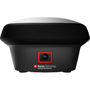
Leica iCON iCG70T
Price on Application
Leica iCON iCG70T – Ultimate GNSS Rover for Construction Sites
Experience maximum efficiency with the Leica iCON iCG70T, the ultimate GNSS rover and field solution for construction sites. This cutting-edge tool combines the latest GNSS technology and inertial measurement unit (IMU) to deliver unparalleled performance and productivity.
Tilt Compensation and Magnetic Resistance
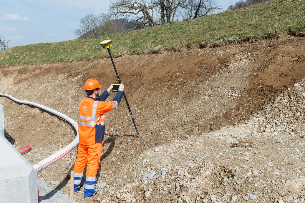
The iCON iCG70T is equipped with permanent tilt compensation, ensuring accurate measurements regardless of pole position. It is also resistant to magnetic interferences, making it a reliable choice in any environment. With its calibration-free design, the iCON iCG70T is ready to go whenever you are, anytime, anywhere.
Increased Productivity and Accuracy
By eliminating the limitations of working with a vertical pole, the iCON iCG70T significantly increases productivity compared to conventional methods. Collect as-built field data and stake out designs faster, while reducing errors and improving accuracy. Measure where it was previously impossible, with enhanced quality control and traceability.
Tilt – Traceability – Trust
No need to hold the pole vertical – the iCON iCG70T’s tilt compensation allows for measurements from any angle. Full traceability is ensured by storing tilt values with each measurement, improving quality control. Say goodbye to leveling bubbles and critical errors caused by improper leveling.
iCON Field Solution – Unmatched Simplicity
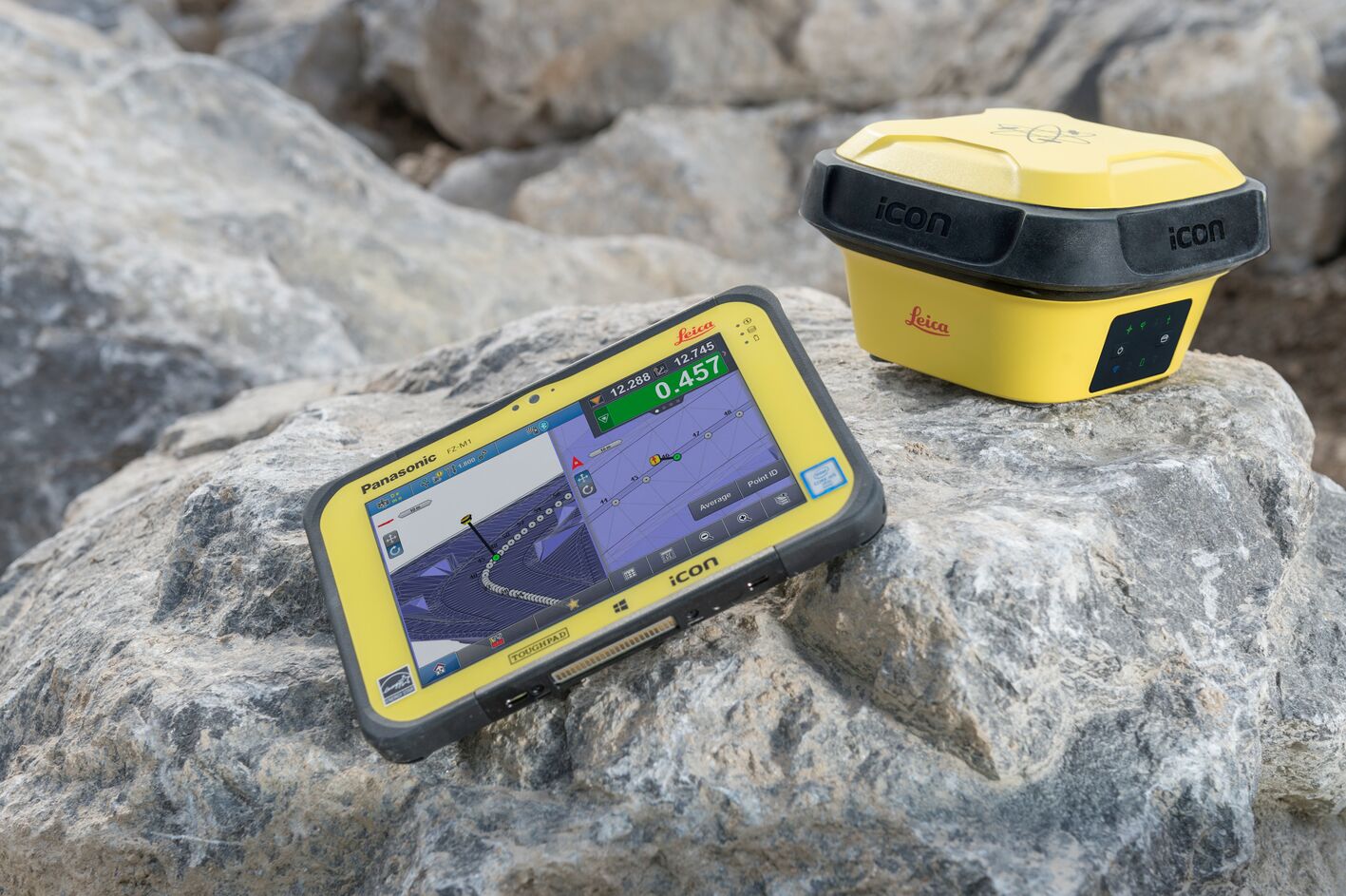
The iCON iCG70T seamlessly integrates with Leica iCON field software, offering smart and customized positioning solutions for all construction sites. Improve performance with intelligent software applications, workflows, and an innovative software design. The integration with Leica ConX cloud-based collaboration tool provides all the tools necessary to increase the efficiency of your field operations.
Contact Us
Unlock the full potential of your construction projects with the Leica iCON iCG70T. Experience the future of GNSS surveying and construction site management with this innovative and efficient solution.
Permanent tilt compensation:
- Calibration-free
- Resistant to magnetic interferences
- Increased measurement productivity and reduction of human error
Superior and future-proof GNSS Technology:
- 555 channels for more signals, faster acquisition and improved sensitivity
- Intelligent management of multi-frequency, multiconstellation signals
- Intelligent selection to automatically reject reflected or noisy signals
Hardware & Ergonomics:
- Compact and lightweight housing
- UHF radio
- Tilt and non-tilt variant
Smartcheck + & Smarttrack +:
- Unique RTK technology provides continuous checks to guarantee correct results
- Initialisation within seconds
- Complete reliability
Robustness for most demanding sites:
- IP66 / IP68 protection
- Built for extreme temperatures of -40°C to +65°C
- Fulfils toughest standards throughout the complete product lifetime
- Rugged aluminium housing
iCON field solution:
- Seamless integration into iCON field solution
- Easy-to-use software interface and seamless data flow throughout the workflow
- Exceptional application functionality
- Leica ConX cloud-based collaboration tool for real-time 3D data exchange
Speak to our specialist today.
Related products
-
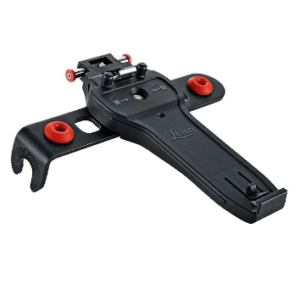
Leica GHT66 Holder for Field Controller Leica CS20
€115.00 excl VAT (€141.45 incl VAT) -
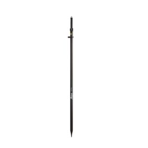
Leica GLS30 Telescopic Carbon Pole
€380.00 excl VAT (€467.40 incl VAT) -
Leica GS18 I GNSS RTK Rover with Visual Positioning
Price on Application
