
Leica Zeno
Showing all 2 results
Switch from manual tools to digital processes to improve the accuracy and efficiency of collecting asset management information with Leica Zeno.
You may also find of interest: Leica iCON GPS, Leica Smartnet and Accessories.
-
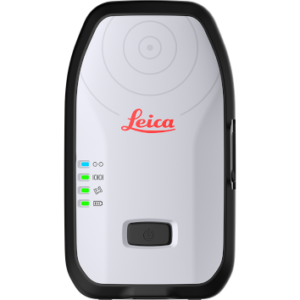
Leica Zeno FLX100 Smart Antenna
Price on Application -
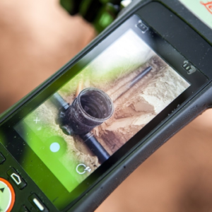
Leica Z Rover Package
Price on Application
Why choose Leica Zeno?
- It offers high-precision GNSS positioning (up to centimeter-level accuracy)
- It provides flexible solutions compatible with various devices and software
- It features user-friendly apps for easy data capture and management
- The products are ruggedly built for tough field conditions
- It incorporates innovative technologies like Gamtec and Apogeetec for reliable performance in challenging environments
- It streamlines digital workflows, improving efficiency and reducing errors
- It offers comprehensive solutions that integrate multiple technologies
3 areas where to use Leica Zeno
GIS Data Collection
Capture feature-rich spatial data for mapping and analysis in various industries.
Asset Management
Locate, record, and measure assets on construction sites or in infrastructure projects with high accuracy.
Field Surveys
Conduct surveys in challenging GNSS environments, benefiting from enhanced satellite acquisition and contactless offset measuring capabilities.
These areas showcase the versatility of Leica Zeno products in collecting and managing spatial data across different sectors and environments.


