
GPS
Take advantage of Leica Geosystems GNSS solution. To provide fully flexible solution SIS offer hire options available for all surveying, engineering or construction workers in Ireland.
Which Hire GPS options is the best for me?
In our hire rates you can find selection of two different types of GNSS Solution.
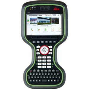
Leica Captivate – offer solution for architects needing precise measurements for the site plans, essential land surveying and building construction tasks.
All the Leica Captivate GNSS RTK Rover are supported by Leica Captivate software.
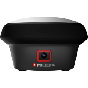
Leica iCON GPS – offer solution for construction, surveying professionals for the best precision and efficiency handling complex projects.
All the Leica iCON GNSS Solutions are supported by the Leica iCON software.
Training and demonstration
Training
With SIS you can take a part of our GPS training course dedicated to suit your needs. Usually, take a 1-2 days and provide you with all you need to know to professionally setting out your tasks.
Demonstration
If you don’t know anything about the instruments you would like to work SIS offer free demonstration focused on the software and principle of instrument operation. To book your demonstration contact with our offices!


