Leica Infinity
Price on Application
The bridge between field and office
Leica Infinity – the intuitive office software solution from Leica Geosystems
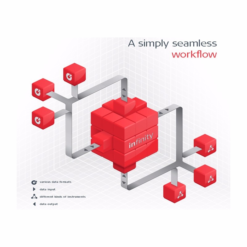
Surveying also means the ability to handle information and data from the field and office in a flexible way and – as far as possible – from anywhere with fast accessibility and seamless data transfer. Today and more than ever before, you also need to rely on a seamless workflow in all your projects. To fulfil this need, we have developed Leica Infinity: a user-friendly, intelligent software platform with intelligent information architecture that opens up previously unimagined possibilities within many aspects of your workflow. More efficiency, greater transparency and simply better.
Infinity is the user-friendly geospatial office software suite for the measurement professional. It is designed to manage, process, analyse and quality check all field survey measure data, including total stations, digital levels, GNSS data and Unmanned Aerial Vehicles (UAVs). So whether it’s measuring new survey projects or preparing data for construction layout jobs, Infinity supports your workflow.
Features:
- Leica Infinity allows quick decision making for the first time
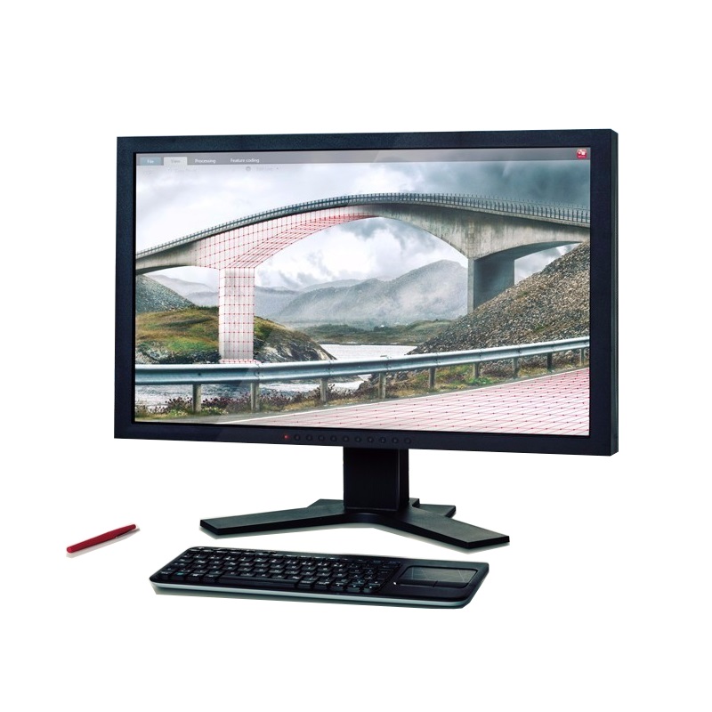
- The modern user interface, seamless data transfer to the PC and 3D viewing from multiple perspectives makes Leica Infinity the perfect partner for your high-performance instruments
- 3D map view in the central working area
- Modern user interface with consistent look & feel and workflows throughout all modules
Compatible with:
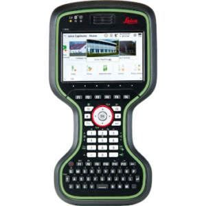
- Leica CS20 controller
- Leica CS35 controller
- Leica Captivate
- Leica Geosystems Total Stations
- Leica LS15 & LS10 digital levels
- Leica GPS
- Leica Aibot UAV solution
Speak to our specialist today.
