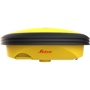
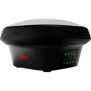
Leica GS18 I GNSS RTK Rover with Visual Positioning
Price on Application
Description
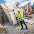
Enhance your surveying capabilities with the Leica GS18 I GNSS RTK rover with Visual Positioning. This innovative tool lets you quickly capture and measure previously unreachable points.
Using the GS18 I, you can map points from images and achieve survey-grade accuracy without switching tools. It also enables you to image-capture any work site, measuring every detail whenever necessary.
Why Choose the Leica GS18 I GNSS RTK Rover with Visual Positioning?
Innovative technology, efficiency, and versatility make the Leica GS18 I GNSS RTK Rover with Visual Positioning a reliable choice for capturing and measuring points accurately. Enhance your surveying capabilities with the GS18 I and experience the future of mapping and surveying.
Innovative GNSS Technology
The Leica GS18 I integrates GNSS, IMU, and a camera to provide highly accurate and easy-to-use GNSS RTK capabilities. This technology enables the measurement of points in images, both on-site and remotely, ensuring precise results in all conditions.
Efficient GNSS RTK Rover
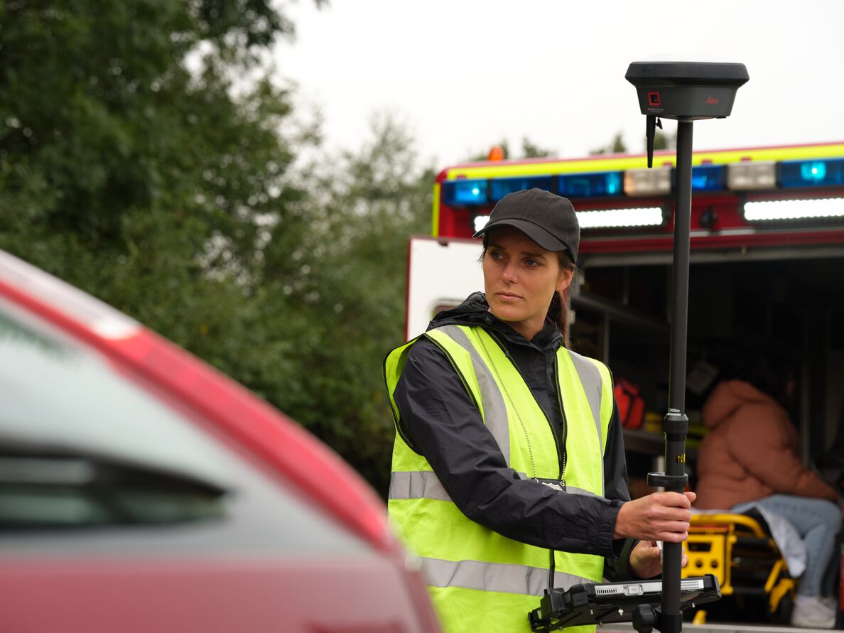
Designed to measure many points quickly, the GS18 I captures images and allows you to measure hundreds of points within minutes. This reduces time spent on-site and minimises the need for revisits. Once the site is captured, you can measure and review all necessary details anytime.
Versatile Surveying Solutions
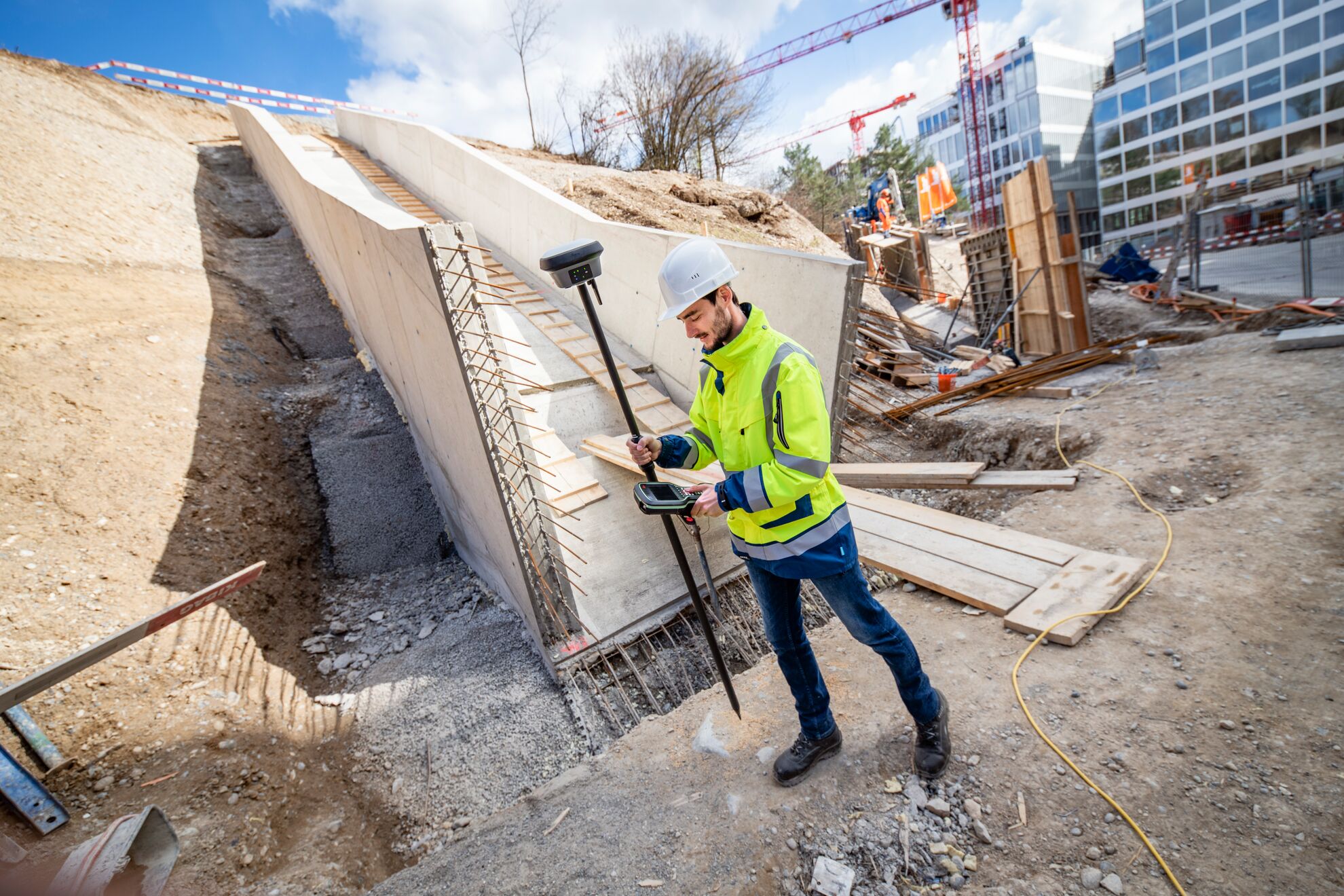
The GS18 I’s imaging power revolutionises surveying by enabling the measurement of inaccessible points in images without switching tools. This flexibility enhances productivity and efficiency, freeing up equipment and crews and ultimately increasing profitability.
Accurate and Easy-to-Use GNSS RTK
The GS18 I is a versatile, easy-to-use GNSS RTK rover designed for surveying professionals. It accurately captures survey-grade points, making it an essential tool for any surveyor.
If you or your team need to reinforce their GNSS skills, SISIRL offers training courses for professional development that enhance your expertise with GNSS systems.
Visual Positioning for Remote Measurements
With Visual Positioning, you can accurately measure points in images, capturing the site and measuring points remotely. This feature ensures you can measure points in images on-site or later, providing flexibility in your workflow.
Leica Captivate Compatibility
The GS18 I utilises Leica Captivate software, allowing you to manage and process data efficiently. This software enhances your ability to measure and visualise points, making surveying tasks more straightforward and effective.
To explore more tools compatible with Leica Captivate, visit our Leica Captivate product range.
Leica Infinity for Data Integration
Leica Infinity software supports data integration and processing, expanding possibilities even further. This software enables you to create point clouds from captured images, enhancing your ability to measure and analyse data comprehensively.
For more information, contact us directly to learn how the Leica GS18 I can transform your surveying projects.
Features
- Measure points with obstructed view to the sky more efficiently and easily.
- Capture points you couldn’t reach before with a GNSS rover.
- Gain more flexibility and control, with no need to use additional time-consuming equipment.
- Map hundreds of points with survey-grade accuracy within minutes.
- Capture the scene quickly and decide later, what should be measured – even if the scene subsequently changes or disappears.
- Tap on an image to measure a point in the field or in the office.
- Quick and thorough so you catch every detail.
Downloads
Have a question?
Speak to our specialist today.
Contact Us
Speak to our specialist today.
Related products
-
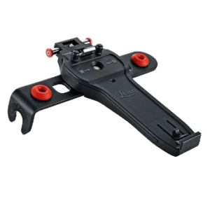
Leica GHT66 Holder for Field Controller Leica CS20
€115.00 excl VAT (€141.45 incl VAT) -
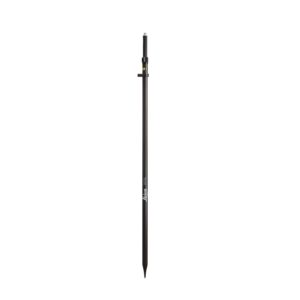
Leica GLS30 Telescopic Carbon Pole
€380.00 excl VAT (€467.40 incl VAT) -
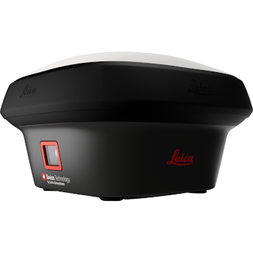
Leica iCON iCG30
Price on Application