New main software features:
Regional configurator tool
Allows direct access to all the regional-specific files and settings that have been shared and placed into the designated HxGN GeoCloud storage drive by each region.
Snap to end/corner point
Allows snapping to the start/ends of lines or line segments, and to the corners of solid objects such as polyface meshes or 3D faces.
Snap to arc/circle centre point
Allows snapping to the centre point of an arc or the centre point of a circle.
Stake/Measure to line
Now, all lines from any active job are shown in the 3D viewer and are selectable. Using the context menu, the option Set as line to use can be used to set the selected line to be the new reference line.
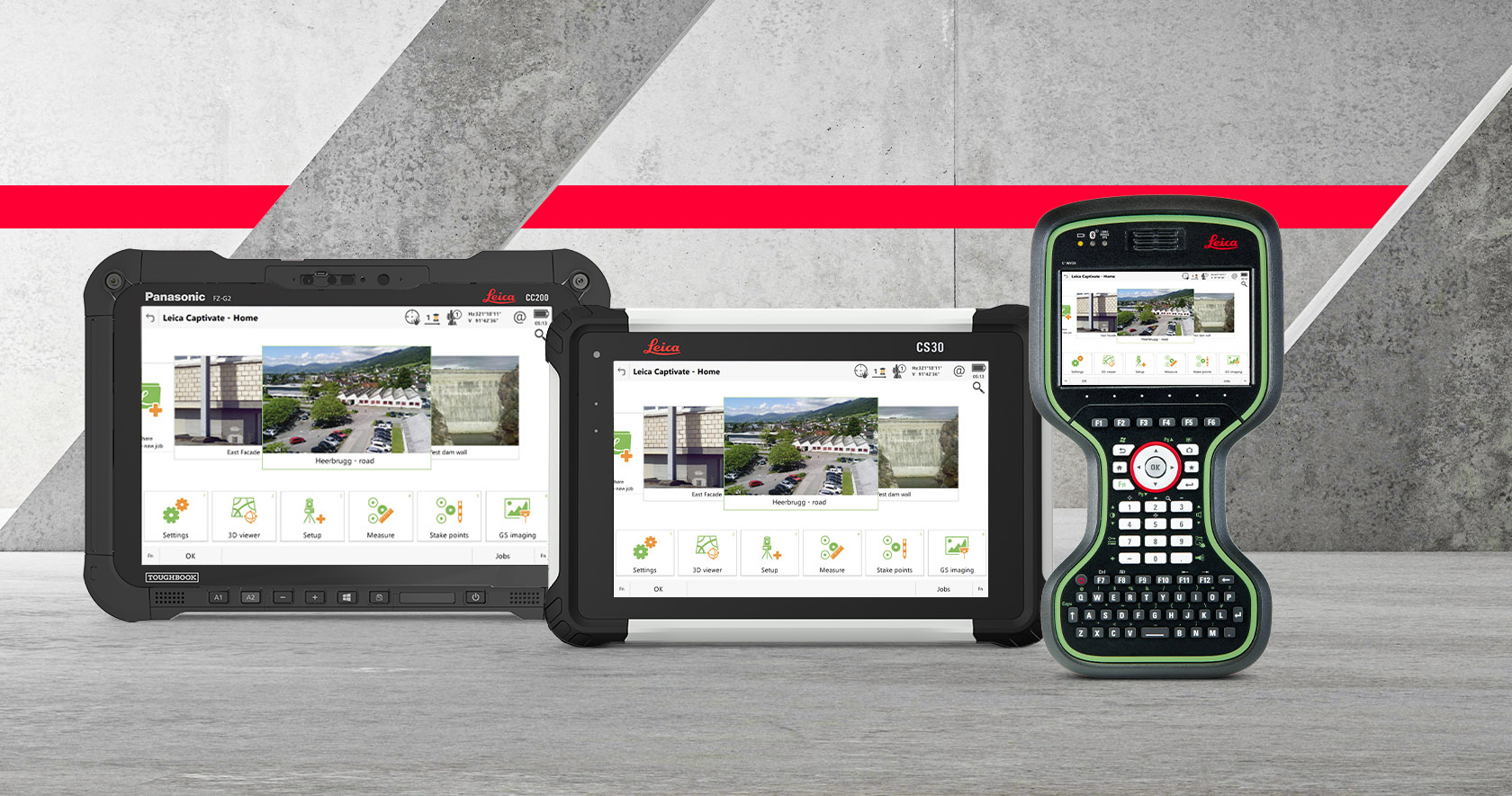
Map view
From Leica Captivate v8.50 onwards, the minimum zoom distance limitation has been decreased, which allows zooming in much closer to objects.
GS18 T/I – Tiltstrength indicator bar
With Captivate v8.50 a tilt strength indicator bar has been introduced, which graphically represents the current tilt initialisation strength, making the user aware of the current tilt quality.
Multipath reduction option enabled by default
Leica Captivate v8.50 the Multipath reduction option will be set as enabled by default. This automatic configuration will happen only once, allowing the user to set back this option to their preferred status.
This update refers to the following instruments: