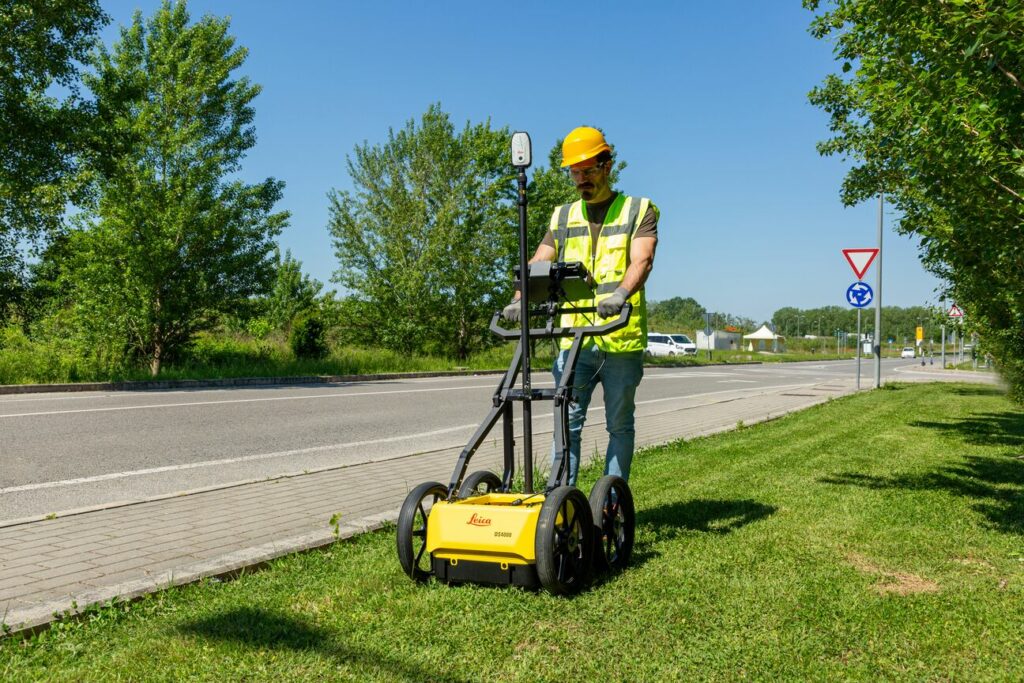
Ireland’s construction and engineering sectors face an increasingly complex challenge: navigating the dense underground infrastructure that lies beneath our cities and towns. As urban development intensifies and subsurface networks become more congested, the risk of costly utility strikes during excavation has never been higher. The new Leica DS4000 Utility Detection System represents a significant leap forward in underground detection technology, offering Irish contractors and surveyors unprecedented capability to identify and map buried utilities with exceptional precision and depth.
EsT Technology
The DS4000 standout feature is its revolutionary patented Equalised Scrambling Technology (EsT), which fundamentally changes the game for utility detection. This advanced technology from IDS GeoRadar enables the system to detect underground assets up to 60% deeper than traditional GPR systems, while simultaneously delivering crystal-clear results across the entire detection range.
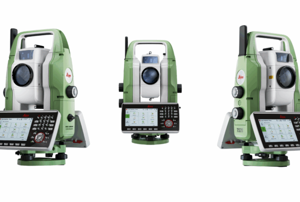
Technical Specifications
- Operating Time: 4-8 hours depending on battery configuration with hot-swap capability
- Dimension (folded for transport): 750x625x420 mm | 30x25x17 in
- Dimension (in use): 750x625x1000 mm | 30x25x40 in
- Operating Temperature: -20°C to +50°C (suitable for Irish weather conditions)
- Frequency Range: 80 MHz – 1,500 MHz dual frequency operation
- Detection Depth: 40-60% deeper penetration than traditional systems
Polarization Flexibility
The DS4000 offers easy switching between HH (horizontal-horizontal) and VV (vertical-vertical) polarization configurations. This flexibility is particularly valuable when detecting different utility orientations – essential for mapping Ireland’s complex underground networks where services may run parallel or perpendicular to survey lines.
Quick Scan Mode
This feature allows surveyors to rapidly assess areas for potential utilities, saving valuable project time while maintaining detection accuracy.
uMap Software
The integrated uMap software enables real-time on-site marking and digitalization of detected anomalies. For contractors working under tight schedules, this means immediate decision-making capability without waiting for post-processing analysis.
Detecting the Undetectable
One of the DS4000 most significant advantages is its ability to detect traditionally difficult-to-identify utilities such as fibre optic cables. The ability to precisely locate these critical but hard-to-detect services becomes invaluable for protecting existing networks during new construction.

Integration with Modern Survey Workflows
The DS4000 supports external positioning through GNSS or Total Station integration, allowing seamless incorporation into existing survey workflows. This compatibility ensures that utility detection data can be accurately positioned within broader project coordinate systems, essential for creating reliable as-built records and design integration.
The Leica DS4000 Utility Detection System offers Irish construction, surveying, and engineering companies a significant technological advantage in managing subsurface detection challenges. With its revolutionary EsT technology delivering 40-60% greater detection depth, comprehensive frequency range, and integrated software solutions, the DS4000 provides the precision and reliability essential for modern Irish construction projects.
As Ireland’s infrastructure continues to evolve and underground networks grow increasingly complex, the DS4000’s advanced capabilities ensure that surveyors and contractors can work with confidence, knowing they have the most comprehensive view of subsurface conditions available.
For more information or to arrange demonstration contact at info@sisirl.com