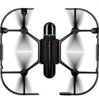
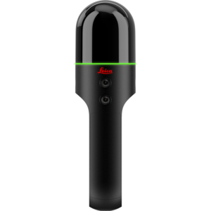
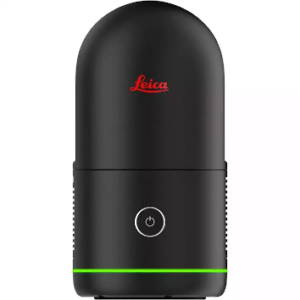
Leica BLK2FLY
Price on Application
Transform Your Business with BLK2FLY: The Ultimate Leica BLK2FLY Solution
Investing in aerial scanning technology? Discover why industry leaders are choosing the revolutionary BLK2FLY for their projects. This autonomous flying solution sets new standards in reality capture, combining unmatched ease of use with professional-grade results.
The Next Evolution in Laser Scanner Technology
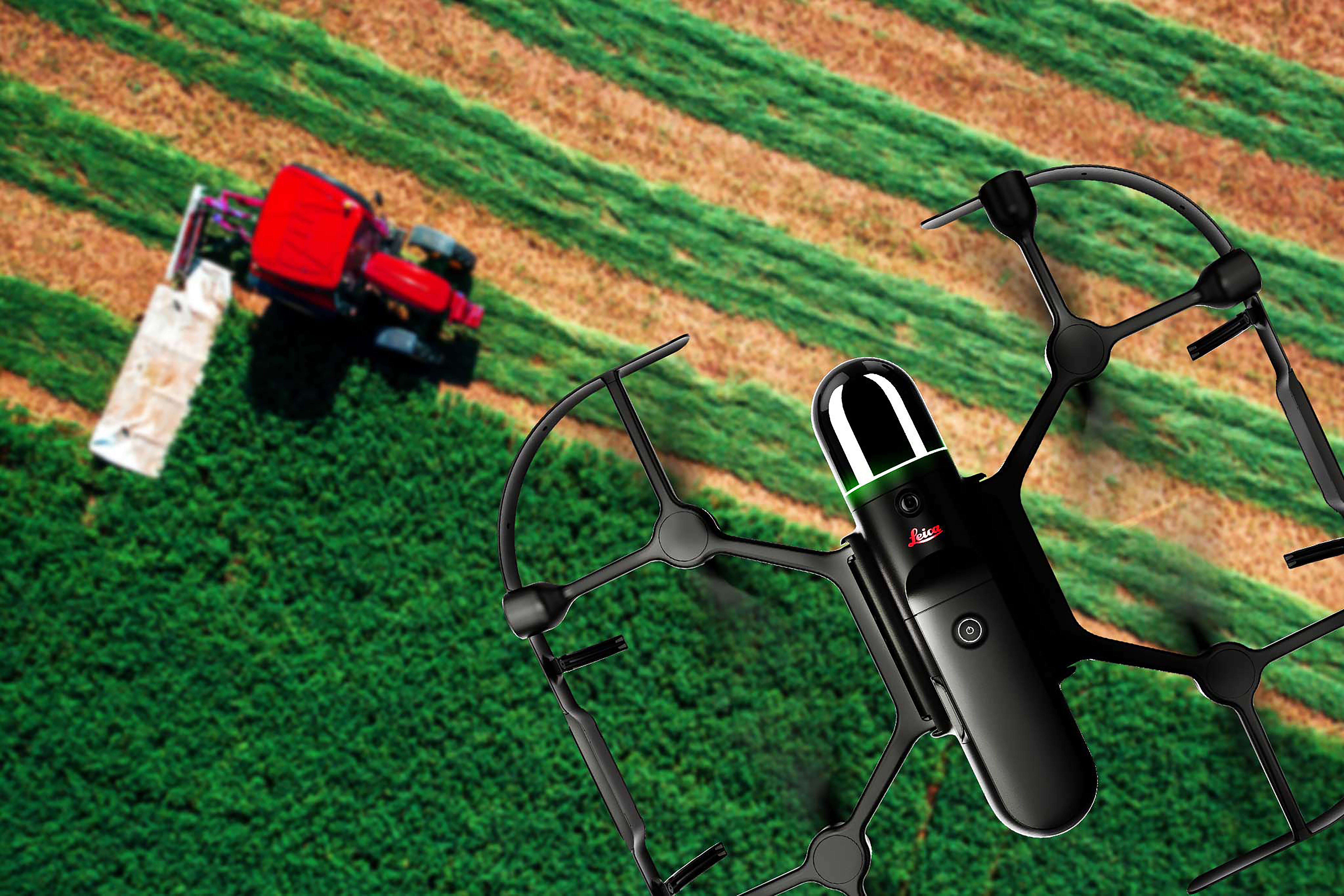
The BLK2FLY navigates complex environments autonomously, capturing precise 3D data while you monitor progress from your tablet. No more compromises on hard-to-reach areas – your projects just became limitless.
BLK2FLY Live App
Users control the BLK2FLY through the BLK2FLY Live App on a tablet for simplified, app-based flying with no need for prior UAV experience. This allows for easy, intuitive control of the BLK2FLY, including live camera feed. You can select an area within the map on your tablet and the BLK2FLY will create its own flight path to scan it quickly and safely. Simply send the BLK2FLY to scan a new area by tapping anywhere on the 3D view in the app.
Autonomous UAV Scanning
The BLK2FLY intelligently incorporates the environment around it into its flight plans. It keeps the correct distance for ideal scanning and formulates optimized flight routes for return to home.
Full dome LiDAR sensor
The enclosed, full dome laser scanner onboard the BLK2FLY captures 3D point clouds in all directions.
GrandSLAM
BLK2FLY takes GrandSLAM technology even further. LiDAR SLAM, Visual SLAM, radar, and GNSS make the BLK2FLY fully autonomous, easy to use, and able to fly safely and accurately on its own.
Ready to elevate your business? Contact our team now to discuss your BLK2FLY investment. Remember: Professional drone certification required – ask about our training partnerships with Survey Drones Ireland.
- Allows you to scan hard-to-reach areas like building facades and rooftops
- Autonomously captures complete scans of building exteriors to create 3D digital twins
- GrandSLAM sensor fusion of LiDAR, radar, cameras, and GNSS for complete scan coverage, optimized flight paths, and shortest return to home
- Advanced obstacle avoidance for superior flight safety
- Hot swap battery system
- Lightweight, portable, easy to use
- Uses GrandSLAM technology: LiDAR SLAM, Visual SLAM, and an IMU for reality capture and autonomous navigation through complex environments
- Remote control: BLK2FLY Live App for iPad support LTE connectivity
- Accuracy (w/o GNSS): 40 mm
- Max Speed: 5 m/s, 2 m/s, 2 m/s (indoor mode, obstracle avoidance disabled), 1.5 m/s (indoor mode)
- Max wind resistance: 10 m/s
- Max flight altitude above sea level: 1,800 m
- Flight time: 10 min
- Leica BLK2FLY Flying Laser Scanner
- GEB374 BLK2FLY Smart Battery
- GKL352 BLK2FLY Single Battery Charger
- GEV288 USB-C Cable, 1.5m
- Leica BLK2FLY Propellers CW & CCW
- Cleaning Cloth
- Quick Guide
Speak to our specialist today.
