Description
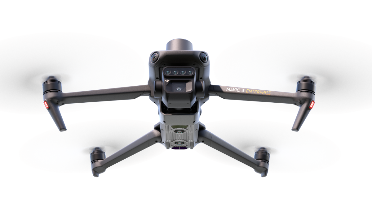
Effective aerial surveying needs to see the invisible. That’s why Mavic 3 Multispectral has two forms of sight. It combines an RGB camera with a multispectral camera to scan and analyze crop growth with total clarity. Agricultural production management requires precision and data, and Mavic 3M delivers both.
Lightweight and Portable, Highly Integrated
-Small and foldable for easy storage
-Integrates RGB and multispectral cameras
RGB Camera
-4/3 CMOS, 20 MP
-1/2000-second mechanical shutter in order with no rolling shutter
-0.7-second high-speed-burst shooting when shooting with RGB camera only
Multispectral Camera
– Four 5MP multispectral cameras
– Green (G) 560 nm ± 16nm
– Red (R) 650 nm ± 16 nm
– Red edge (RE) 730 nm ± 16 nm
– Near-infrared (NIR) 860 nm ± 26 nm
– Light sensor, NDVI is more accurate
Accurate Images that Capture Every Pixel
-RTK centimeter-level positioning
-Microsecond-level time synchronization
-Phase-less aerial surveying
Extra-long Battery Life, Highly Ecient Aerial Surveying
– 43-minute flight time
– Aerial surveying of up to 200 hectares per flight
– 100W Battery Charging Hub, 88W fast charging
Stable Image Transmission, Omnidirectional Obstacle Sensing
-15km image transmission, stable signal
-Omnidirectional obstacle sensing, terrain-follow aerial surveying
Extensive Applications
-Aerial surveying of farmland, mountains, and orchards
-Multispectral aerial surveying to guide variable operations
-Smart field patrols to monitor crop status
-Environmental monitoring and natural resource surveying
Open Ecosystem
-Cloud API, access to third-party platforms
-MSDK, an exclusive app
