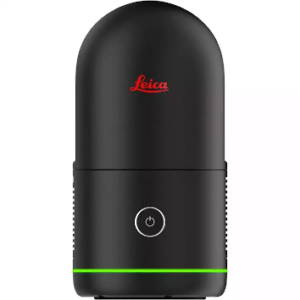
Leica BLK360 Imaging Laser Scanner
Price on Application
Leica BLK360 – Compact, High-Precision Imaging Laser Scanner
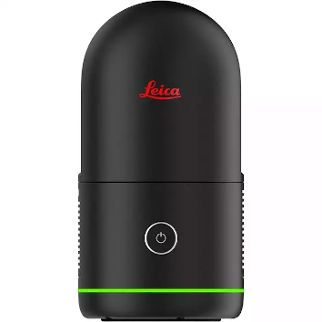
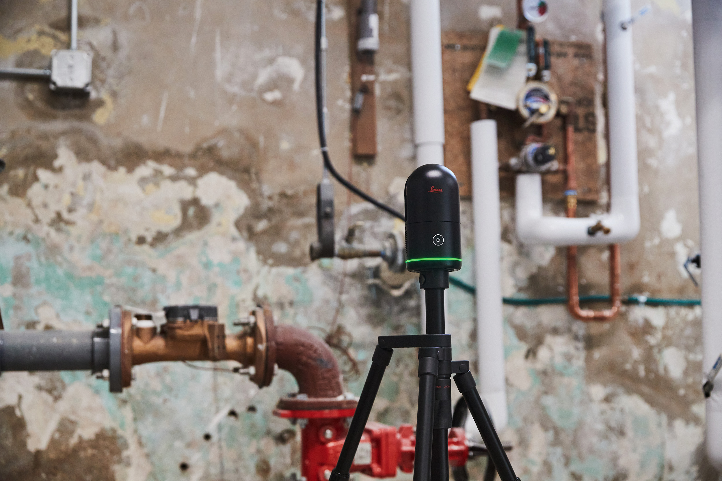
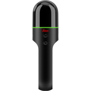
The new Leica BLK360 Imaging Laser Scanner offers exceptional power and precision. This advanced, small, lightweight 3D laser scanner offers unparalleled rapid scanning capabilities, making it ideal for capturing high-definition panoramic images and accurate point cloud data.
The Leica BLK360 model integrates seamlessly with Leica Geosystems software, ensuring efficient data processing and transfer. For more options, explore our range of Leica BLK scanners.
Leica Scanner for Rapid, High-Quality 3D Data Capture
Maximise the efficiency and precision of your surveying projects with the Leica BLK360. This advanced laser scanner delivers rapid scanning, high-resolution imaging, and cutting-edge technology, ensuring superior data quality and streamlined workflows for various applications.
- Capture 3D panoramic images and point cloud data with precision, making it easier to visualize and document your projects.
- The VIS Scan Alignment System automatically aligns multiple scans, ensuring consistency and reliability in large-scale data collection.
Advanced Laser Scanner Technology
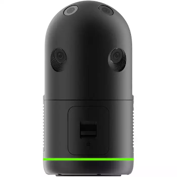
The Leica BLK360 Laser Scanner utilises a cutting-edge camera system and high dynamic range (HDR) imaging to produce colourized point clouds and spherical images with exceptional clarity. The integrated VIS Scan Alignment System ensures accurate scan alignment, enhancing the overall quality of your data.
Leica TRUVIEW Cloud and Cyclone Field
Compatible with Leica TRUVIEW Cloud and Leica Cyclone Field 360 mobile-device app, the BLK360 facilitates seamless data transfer and processing. These platforms support the efficient handling of laser scan data, enabling easy management of large-scale projects.
Reality Capture Software
The BLK360 integrates with various reality capture software solutions, including Autodesk Recap Pro and Cyclone Register, to streamline the process. This integration enhances your ability to generate accurate 3D point clouds and effectively manage your final project data.
Don’t forget to look into our laser scanning accessories to complement your BLK360.
Versatile Applications
See how the Leica BLK360 adapts to various professional scenarios, enhancing efficiency and accuracy.
Construction and Job Sites – Leica Geosystems Ireland
Designed for construction and job sites, the Leica BLK360 is perfect for capturing detailed 3D point clouds and panoramic images. Its rapid scanning and real-time live feedback capabilities provide immediate insights, helping you make informed decisions on-site.
Large-Scale Projects
Ideal for large-scale projects, the BLK360 high-speed data transfer and simplified data collection processes ensure that your data is accurately captured and easily accessible. The scanner’s rechargeable lithium-ion battery supports extended use, making it reliable for lengthy assignments.
For the latest in surveying technology, explore our latest products.
Additional Features of the Leica BLK360 Imaging Laser Scanner
Explore how the Leica BLK360 enhances your workflow with its versatile features.
Mobile Device Compatibility
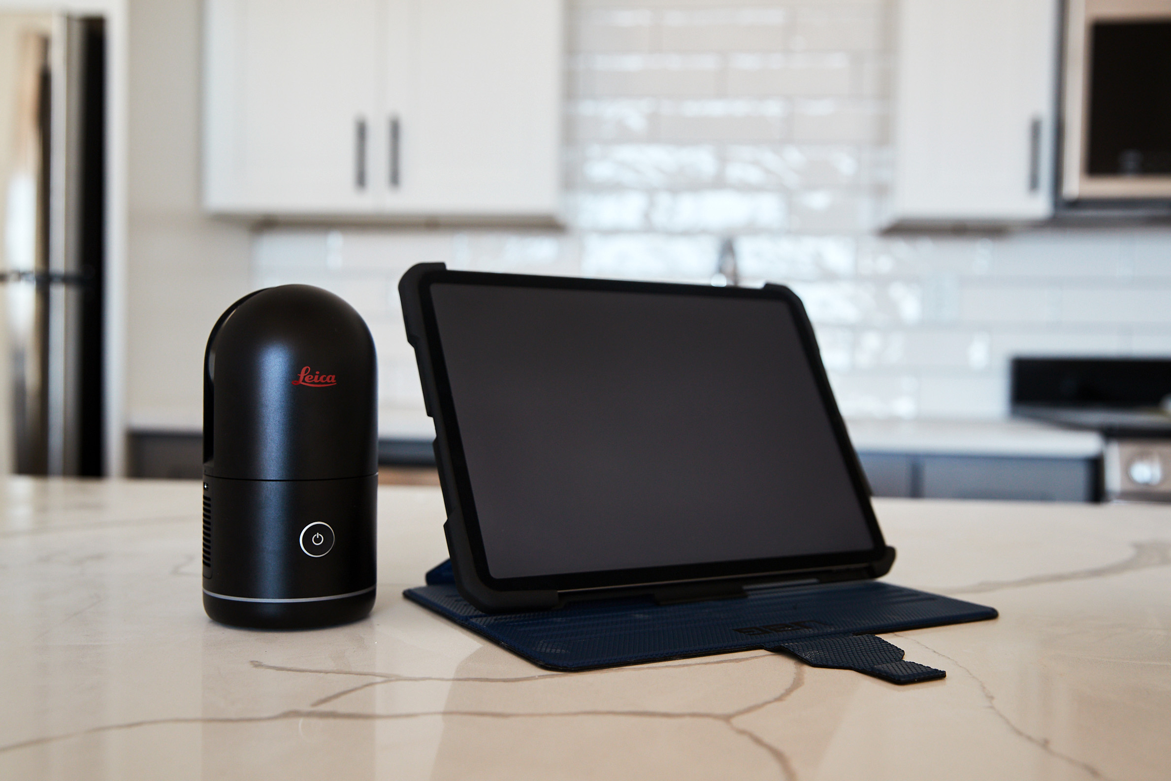
The BLK360 streams images directly to your mobile device, providing real-time feedback and simplifying the data collection process. The free companion app enhances usability, allowing you to adjust scan settings and review scan data.
Comprehensive Accessories
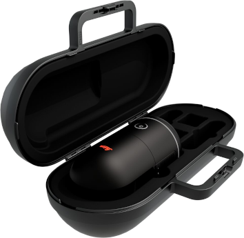
The Leica BLK360 Mission Bag, included with your purchase, ensures your scanner and accessories are protected and easily transportable. This, along with the rechargeable lithium-ion battery and bracket HDR, supports your laser scanning needs in various environments.
- Four scan settings capture data in 7, 13, 30, or 75 seconds at 680,000 points per second
- Rich high dynamic range (HDR) imagery with 5 bracket HDR
- Small and light, measuring 155x80mm and weighing just 850 g with batteries installed
- 5 times faster than the BLK360 G1, taking 20 seconds for a full-dome scan with photospheres
- Visual Inertial System (VIS) automatically pre-registers scans in the field
- High speed data transfer via USB-C and WiFi
Speak to our specialist today.
