Showing the single result
-
Leica Pegasus: Two Mobile Mapping Systems
Price on Application
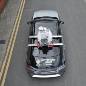
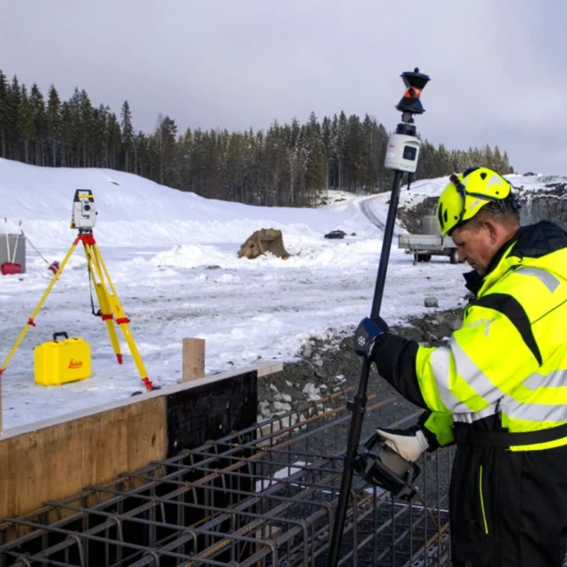
What is Mobile Mapping?
Mobile Mapping is an advanced method of collecting high-precision geospatial data using specialised sensors mounted on a moving vehicle. This technology allows for efficient, large-scale data capture, producing accurate survey-grade maps, detailed drawings, and precise 3D models — all while the vehicle is in motion.
Ideal for projects requiring extensive area coverage or fast data collection, Mobile Mapping combines LIDAR scanning, 360° imaging, and positional tracking to create a complete digital record of the environment.