Total Stations
Showing 37–48 of 82 results
-
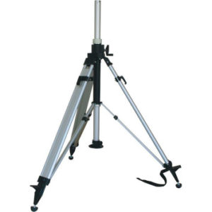
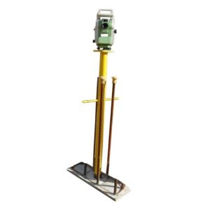
NEDO Elevating Tripod
€995.00 excl VAT (€1,223.85 incl VAT) -
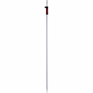
Leica GLS12 Detail Pole
€200.00 excl VAT (€246.00 incl VAT) -
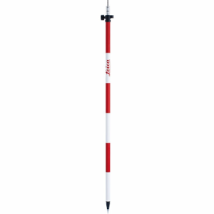
Leica GLS111 Detail Pole
€210.00 excl VAT (€258.30 incl VAT) -
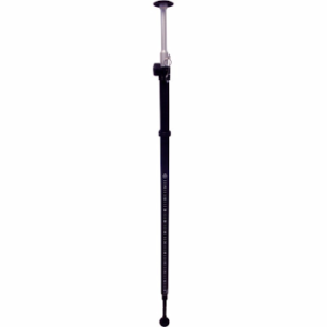
Leica GLS11 Detail Pole
€185.00 excl VAT (€227.55 incl VAT) -
Leica CRP1 Pole
€375.00 excl VAT (€461.25 incl VAT) -
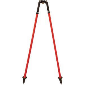
Leica GSR111 Dual Strut Support Pole
€250.00 excl VAT (€307.50 incl VAT) -
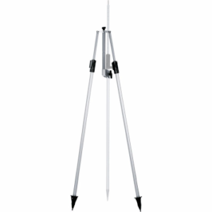
Survipod
Price on Application -
Leica GSR2 Dual Strut Support Pole
€275.00 excl VAT (€338.25 incl VAT) -
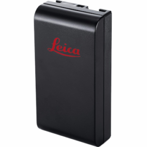
Leica GEB111 Battery
€119.00 excl VAT (€146.37 incl VAT) -
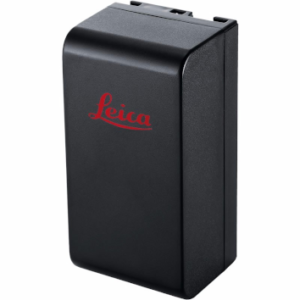
Leica GEB121 Battery
€171.00 excl VAT (€210.33 incl VAT) -
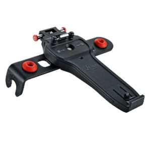
Leica GHT66 Holder for Field Controller Leica CS20
€115.00 excl VAT (€141.45 incl VAT)
Why Choose a Leica Total Station?
Leica Total Stations are designed to enhance precision and efficiency in surveying and construction projects.
These instruments have advanced measurement capabilities, robust performance, and seamless software integration, meeting the diverse needs of professionals. Explore the unique benefits of our Total Stations below.
Advanced Measurement Capabilities
Our Total Stations provide advanced measurement capabilities, including electronic distance measurements and accurate vertical and horizontal angles. These features ensure precise data for complex surveying and construction projects.
Robust and Reliable Performance
Leica Total Stations are designed to withstand harsh environments and offer robust and reliable performance. This durability ensures consistent operation in various field conditions, reducing downtime and maintenance needs. They are ideal for mining surveys, civil engineering projects, and challenging construction sites.
Real-Time Data Processing
Leica Total Stations facilitate real-time data processing, allowing immediate on-site analysis and decision-making. This capability enhances the efficiency and accuracy of surveying projects, ensuring timely and reliable results.
Seamless Integration with Surveying Software
Leica Total Stations feature integrated surveying software like Leica Infinity, facilitating seamless data collection and processing. This software supports various applications, including geomatics, civil engineering, and construction layouts, ensuring efficient project execution.
Robotic Precision
Leica robotic survey equipment, such as the Leica iCON and Leica Captivate series, provide exceptional precision and efficiency for tasks requiring accurate measurements and data collection. These robotic systems are ideal for complex surveying projects and large-scale construction layouts, ensuring reliable and automated operation.
Unrivalled Manual Control
Manual Total Stations, such as the Leica Flexline Manual stations, are designed for accuracy and ease of use in various surveying projects. These instruments are ideal for tasks requiring precise angle and distance measurements, such as mining surveys and construction layouts.
Reliable Reflectorless Technology
Reflectorless Total Stations enable measurements without a prism, ideal for hard-to-reach areas. This technology is vital for vertical and horizontal angle measurements in construction and surveying work, improving safety and efficiency.
Advanced Control Systems
Like the Leica CS20, Leica controllers offer advanced control systems for precise data collection and project management. These controllers feature ergonomic designs, user-friendly interfaces, and real-time data transfer capabilities, enhancing the efficiency and accuracy of your surveying tasks.
Comprehensive Range of Accessories
Enhance your Leica total stations with various accessories, including tripods, reflectors, and height metres. These accessories are built to withstand harsh conditions and ensure durability and reliability, providing additional functionality for detailed and precise surveying work.
Common FAQs About Total Stations
Why is it called a total station?
A Total Station is a surveying instrument integrating an electronic distance metre (EDM) and an electronic transit theodolite. It measures distances and angles, making it essential for land surveying, construction, and geomatics.
What are the 4 Main Types of Total Stations?
The four main types are Manual Total Stations, Robotic Total Stations, Reflectorless Total Stations, and MultiStations. Each type serves different project requirements, from traditional two-person operations to advanced automated systems. They are:
- Manual Total Stations: Ideal for conventional surveying tasks requiring a two-person operation for precise angle and distance measurements.
- Robotic Total Stations: Offer automated operation, enabling a single operator to perform complex tasks efficiently, making them perfect for large-scale projects.
- Reflectorless Total Stations: Allow for accurate measurements without needing a reflector, ideal for inaccessible or hazardous areas.
- MultiStations: Combine functionalities such as GNSS, scanning, and imaging into one device designed for comprehensive surveying projects.
What is the difference between a total station and a theodolite?
Unlike a theodolite, which measures only angles, a Total Station measures both angles and distances. It also includes data collection and processing software, enhancing its versatility and efficiency in surveying tasks.
What are the main applications of Total Stations?
Total Stations are used in land surveying, construction layout, topographic surveys, mining surveys, and civil engineering projects. They provide precise measurements for accurate project execution.
